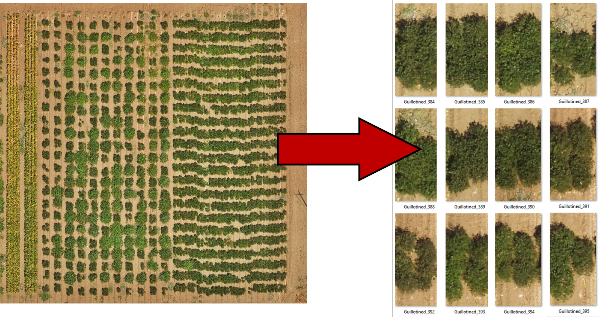
How to split a field map into plot images
- View → Panels → Processing Toolbox
- Search “Clip Raster by Mask Layer”
- Plug in information into the tool:
- Your raster (map, DSM, etc)
- Your grid geopackage
- Make sure the iterate symbol is checked
- Consider checking boxes with other output options, as shown below,
- To the right of “Clipped mask”, click the three dots and specify an output folder and base name.


- Click Run, and the files will be exported to the directory you specified!