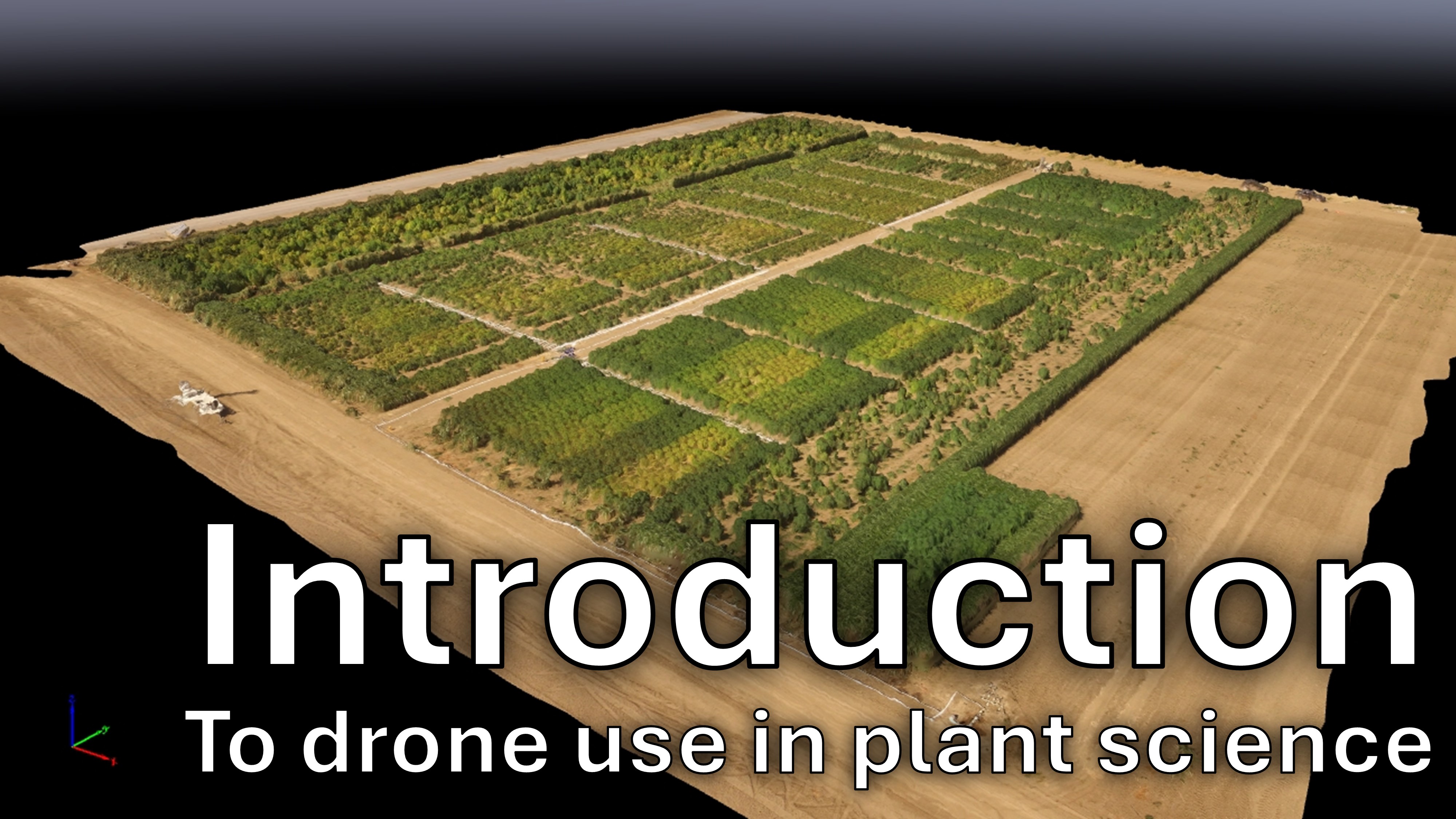
Introduction to drone use in plant science
How are drones used to capture imagery and collect high-precision data? Here, we provide an overview!
Drones (UAVs) are valuable tools for plant phenotyping in agriculture and ecology. These uses range from precision agriculture to ecological surveys to plant breeding. Here, we host protocols and educational resources for drone use in plant science.
See also our YouTube playlist here!
How are drones used to capture imagery and collect high-precision data? Here, we provide an overview!
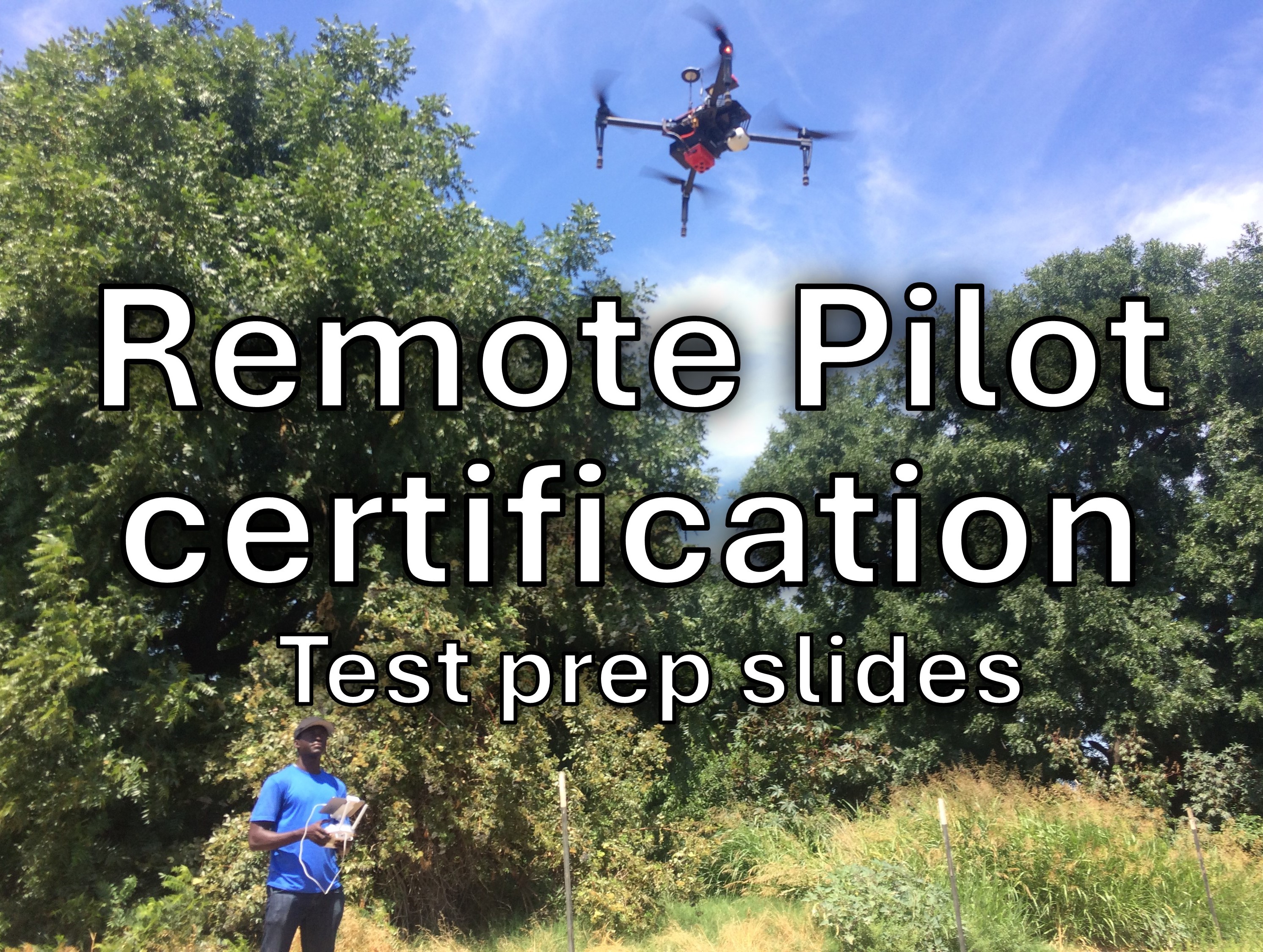
Get certified to fly commercially! Here, we provide free study materials for the Part 107 Remote Pilot in Command knowledge test, required for commercial drone use in the United States
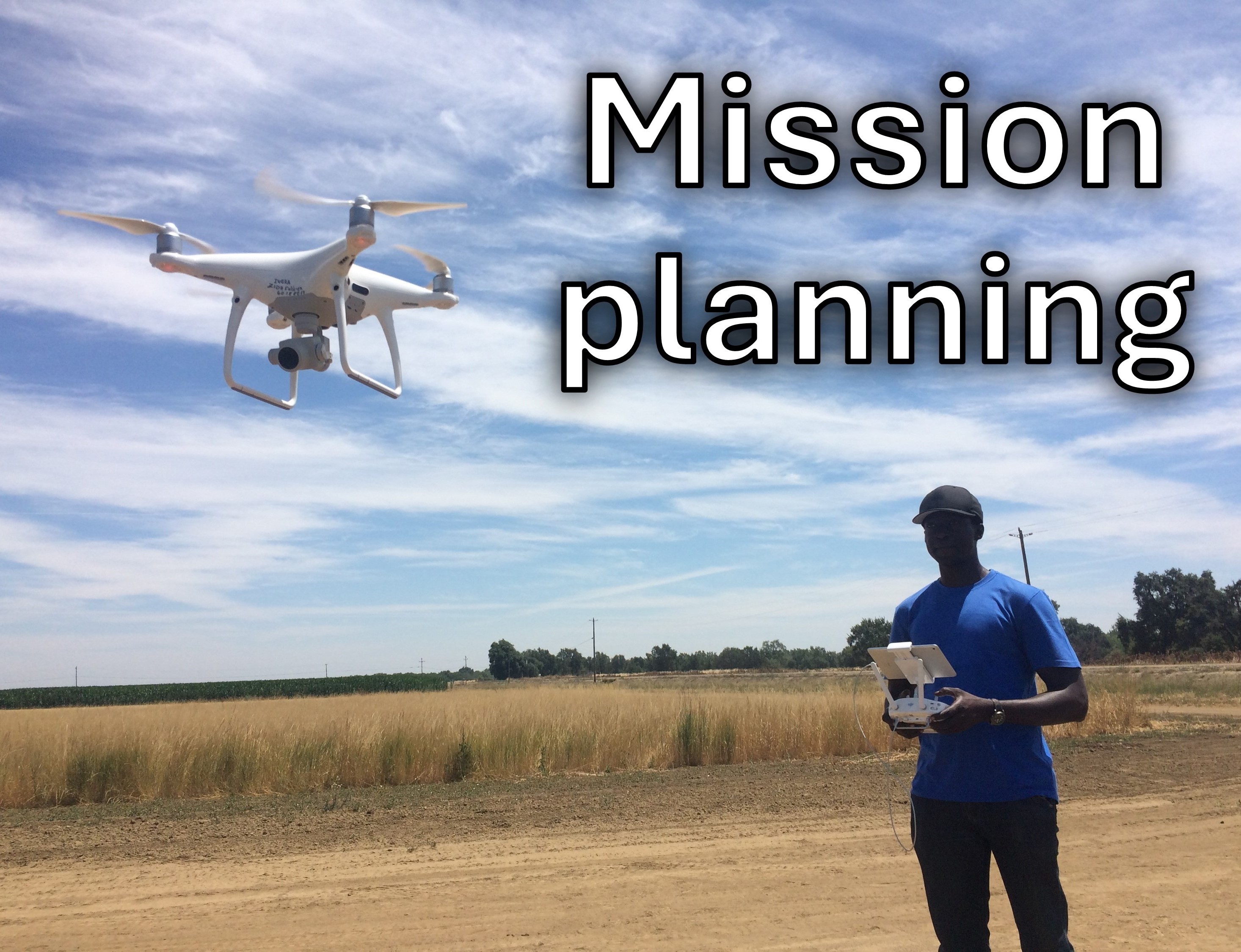
Using mission-planning applications to capture the best quality data for your project
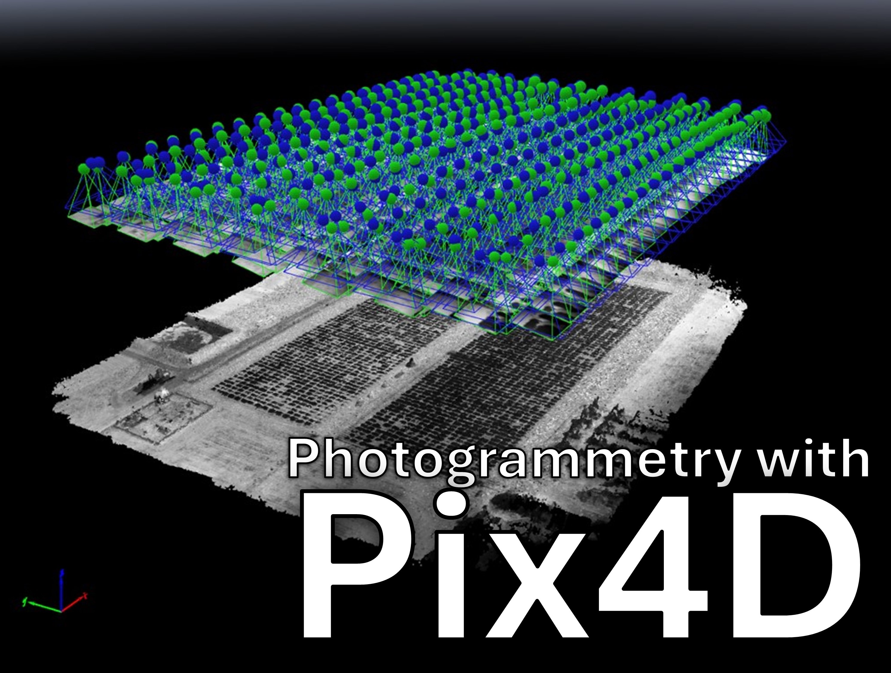
Turning raw images into orthomosaics, reflectance maps, and digital surface models
Get the basics on this awesome, free, open-source software, that will unlock the data in your drone images!
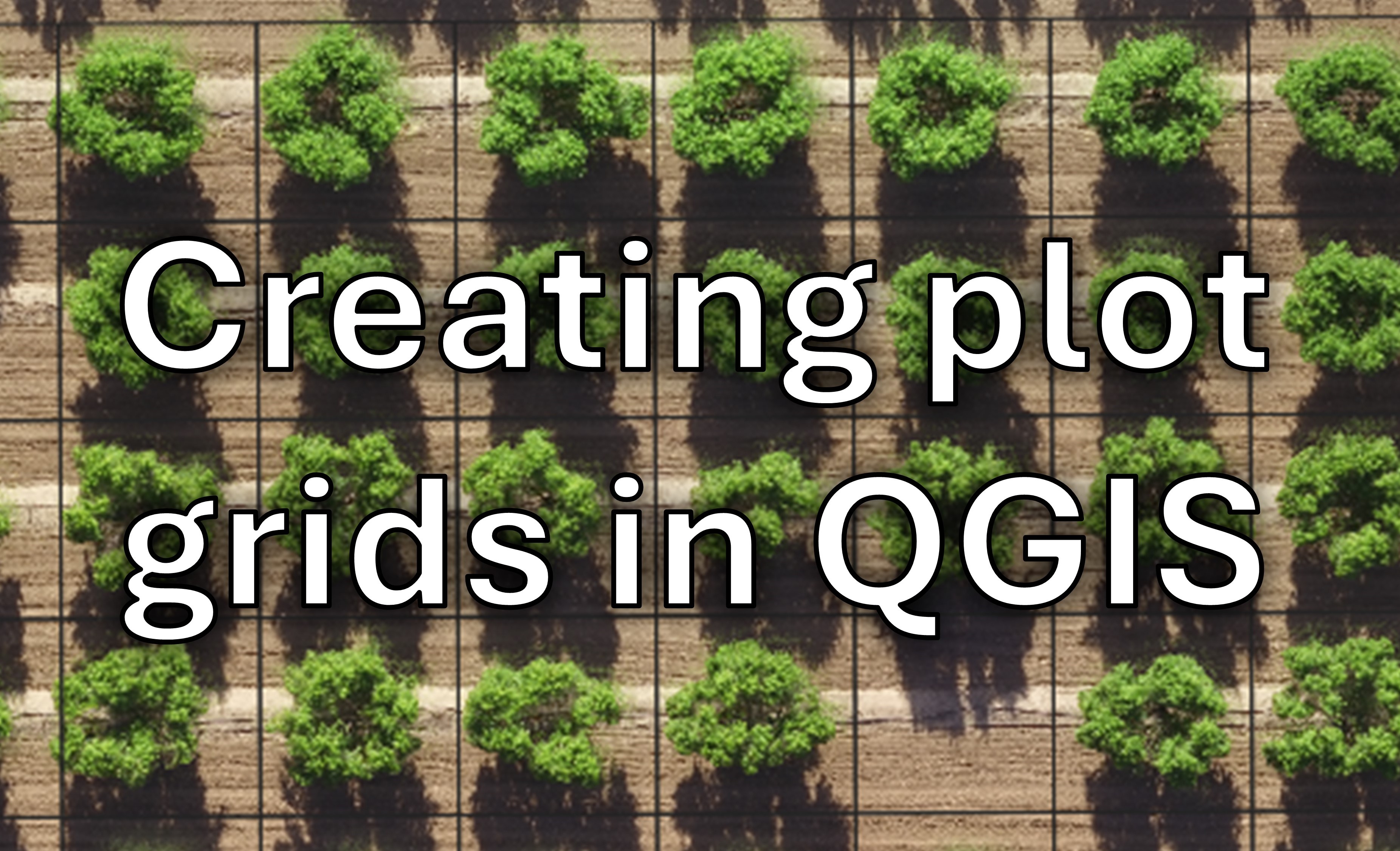
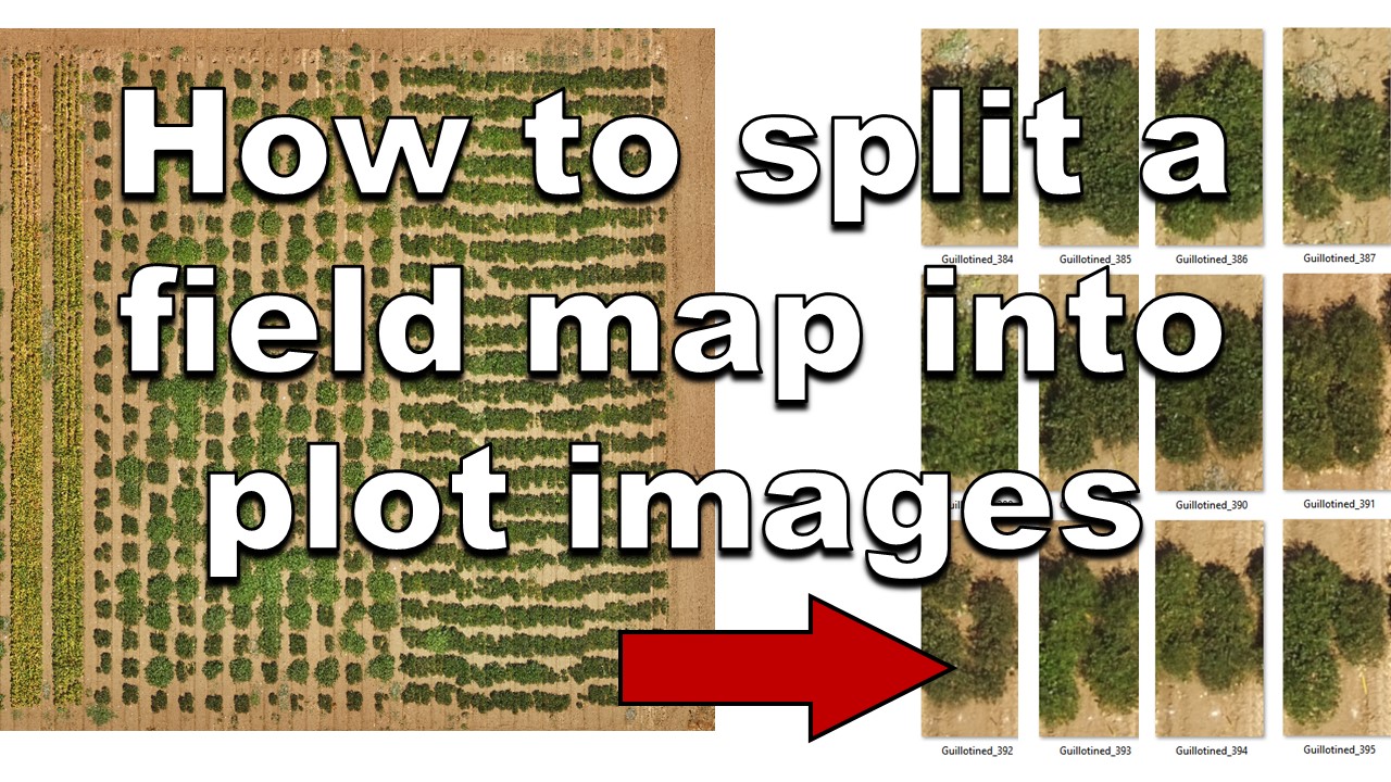
Specify where your plots or areas of interest are!
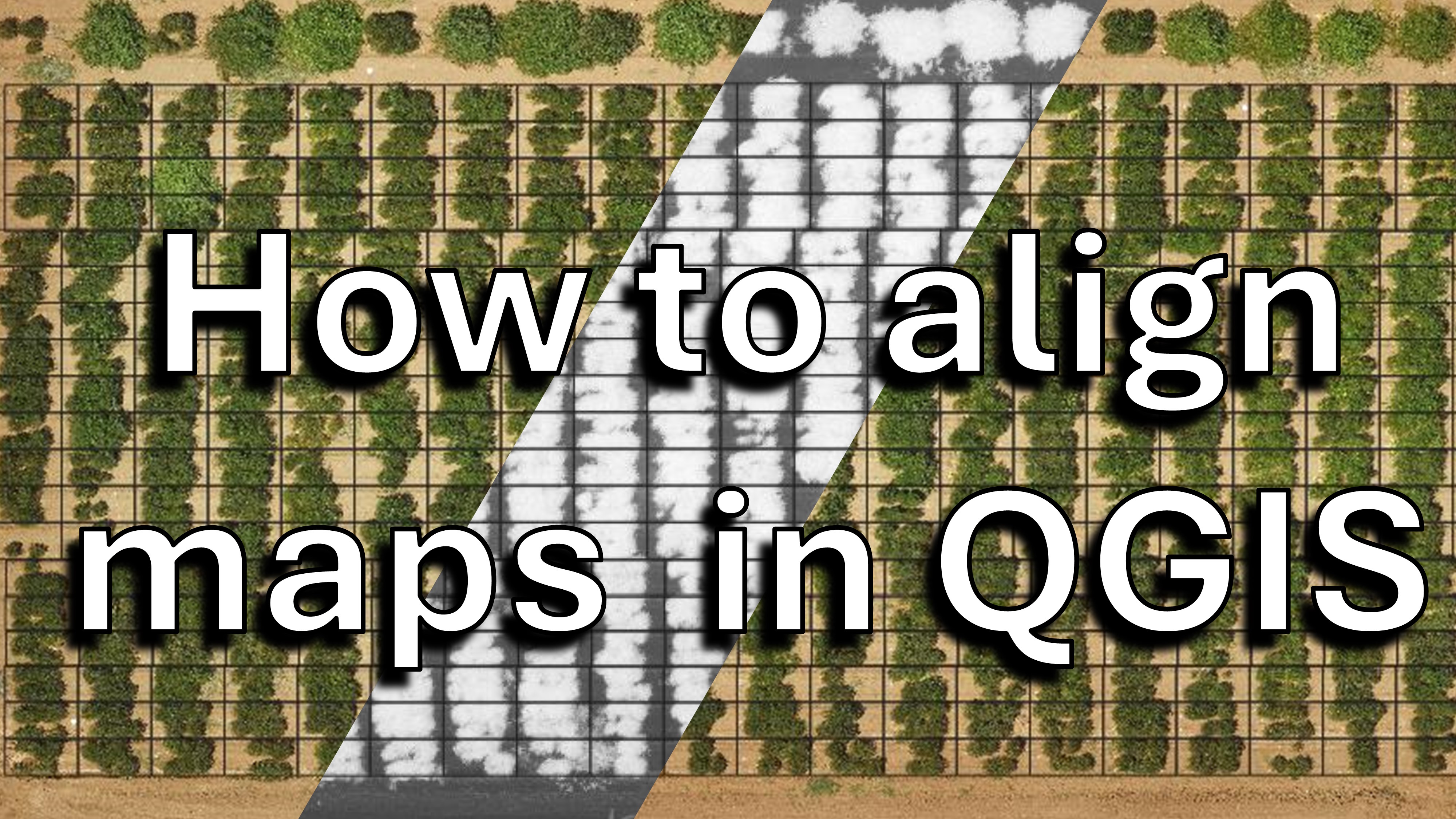
Using the georeferencer makes it easy to extract data from different cameras or flight dates using a single plot grid!
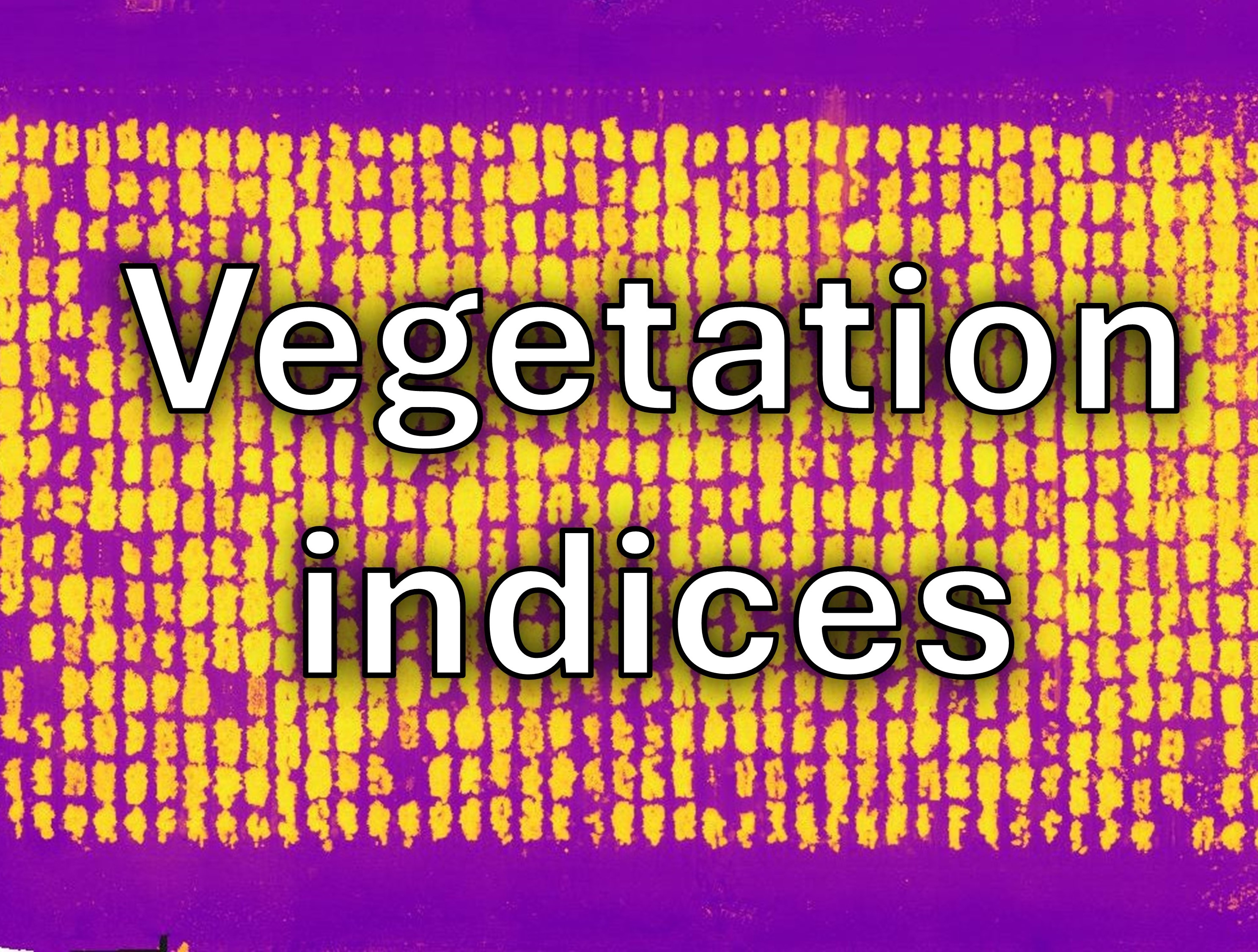
Calculate vegetation indices to make the most of your data!
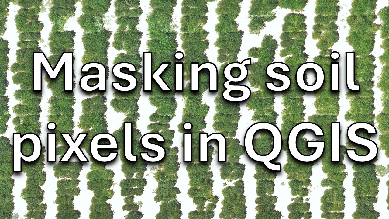
Eliminate unwanted areas in your image sets
Determine the canopy fraction and total canopy area in each of your plots!
Eliminate soil pixels and then download canopy health data from your plants, with other surfaces removed
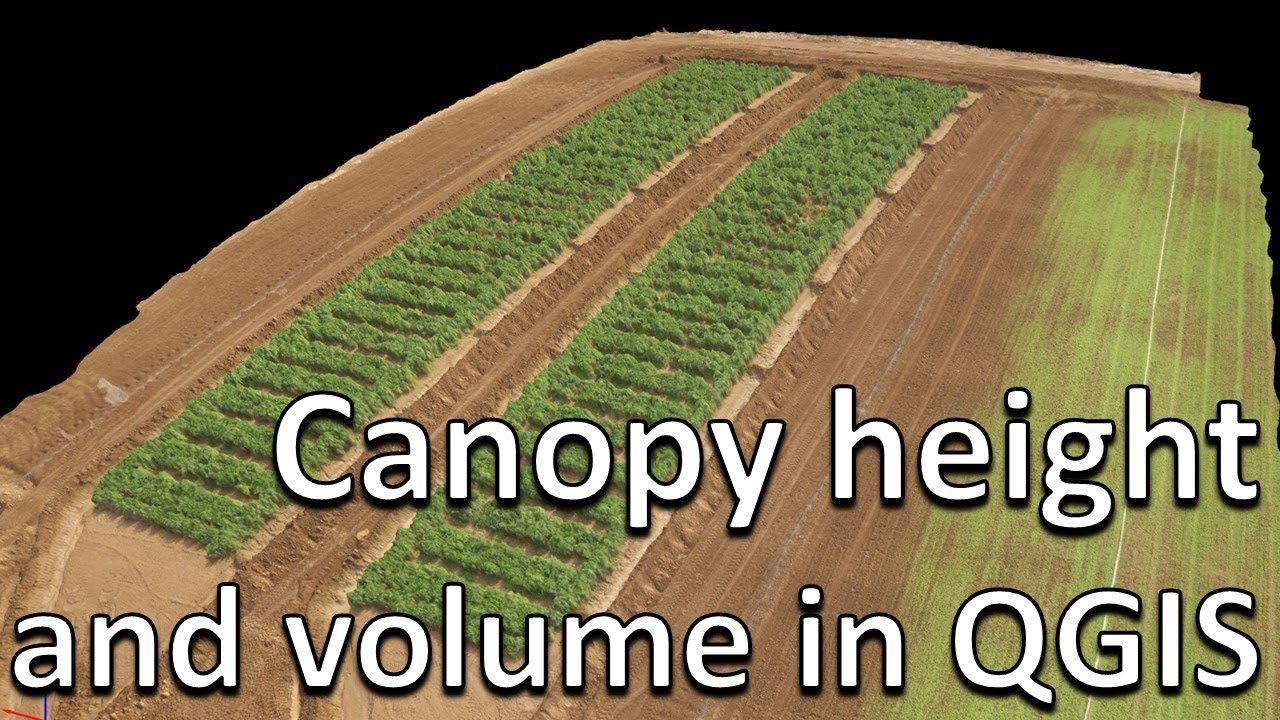
Extract data on canopy area, canopy height, and canopy volume for your plots!
Want to use image-based tools like ImageJ on each of your plots?
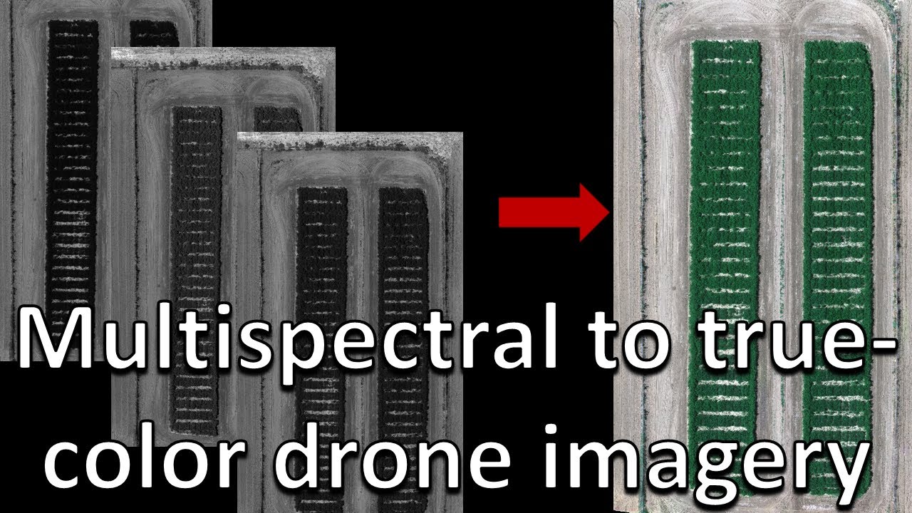
How to make true-color imagery from multispectral images
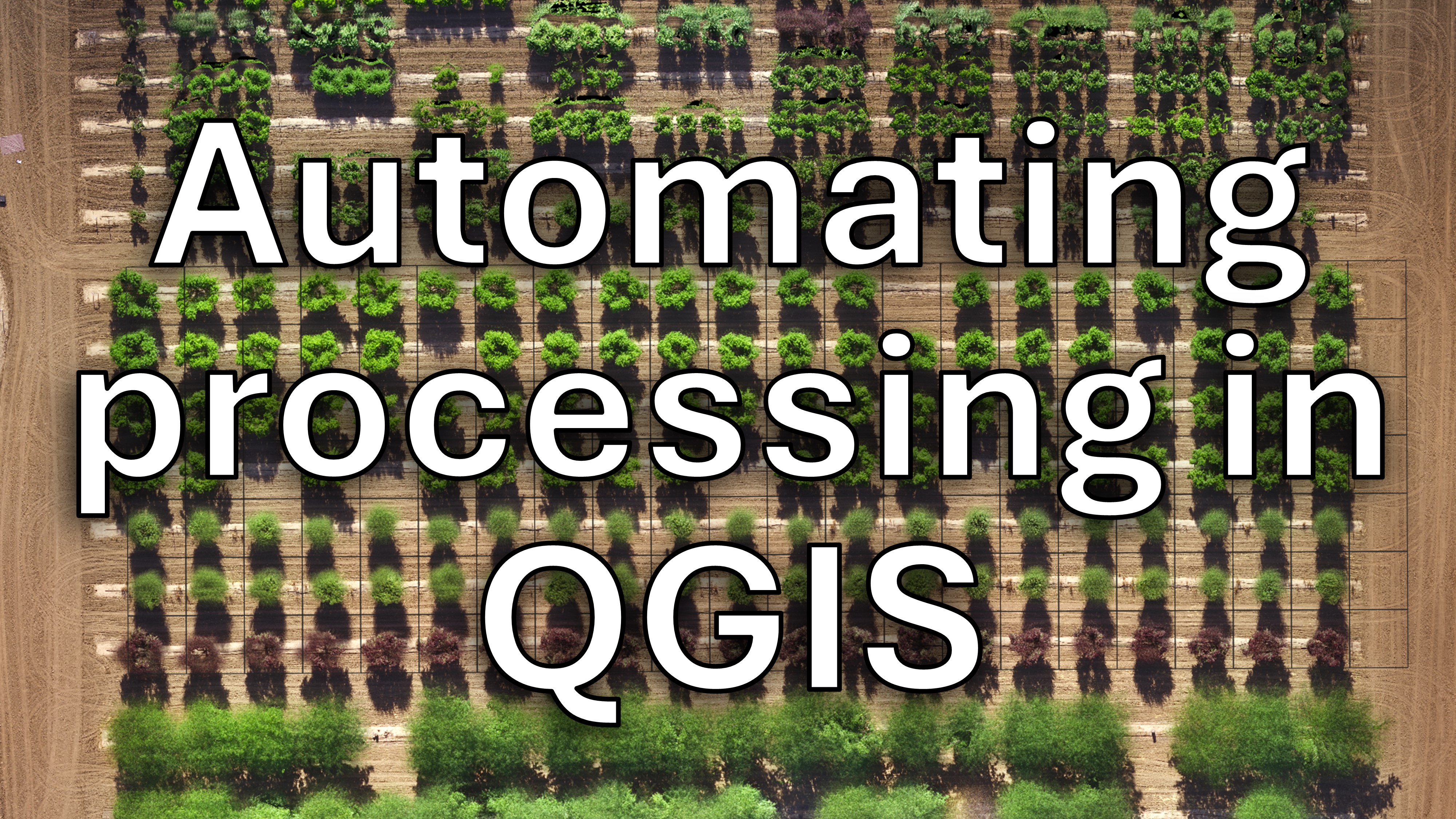
Use the Python console to automate routine steps and save time on time-series projects! No previous Python experience required
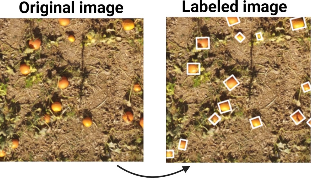
Detect objects and return characteristics and/or counts using PyTorch and TensorFlow!
Click for the updated list!
Funded by the Kirkhouse Trust, USDA-NIFA-SCRI, the Clif Bar Foundation, Lundberg Family Farms, Western SARE, and the Organic Farming Research Foundation!
Contact info: